Monica Moritsch, PhD

Marine Ecologist & GIS Specialist

Portrait of Monica Moritsch smiling outdoors among trees

About Me

I blend field ecology principals and spatial modeling to support management of marine and coastal ecosystems. I have considerable experience quantifying ecosystem services and modeling ecosystem outcomes around the world, working with government agencies, non-profits, research institutions, and the private sector.

With a focus on evaluating the impacts of climate change and management actions, my work bridges the gap between scientific research and decision support for resource managers and conservation practitioners. I bring years of experience in geospatial modeling, field surveys, and analysis of remotely sensed data. I am also an FAA-certified drone pilot, enabling me to handle the full spectrum of project tasks, including data collection, reporting, and building unique communication tools.

Education

  • Ph.D. Ecology and Evolutionary Biology, University of California, Santa Cruz
  • M.A. Ecology and Evolutionary Biology, University of California, Santa Cruz
  • B.S. Molecular Environmental Biology, University of California, Berkeley

What I Offer

Comprehensive scientific consulting, spanning field data collection, data analysis, scenario modeling, and building impactful tools.

Ecosystem Services Modeling

Blue carbon quantification, coastal protection modeling, and climate adaptation analysis for ecosystems spanning from the tropics to the poles.

GIS & Spatial Analysis

Geospatial modeling, remote sensing, suitability analysis, and custom GIS workflows.

Map Production & Cartography

Publication-quality maps, ESRI Experience Builder apps, site directories, and more.

Drone Mapping

FAA-certified drone pilot providing aerial surveys and mapping.

Data Collection & Analysis

Field surveys, intertidal monitoring, and statistical analysis of environmental datasets.

Communication Tools

Translating scientific findings into accessible reports, interactive visualizations, and decision support tools.

Featured Work

Selected projects spanning blue carbon, coastal resilience, marine disease ecology, and public engagement.

Mangrove wetland ecosystem with coastal vegetation and tidal flats in Victoria, Australia

Ecosystem Services Modeling: Blue Carbon

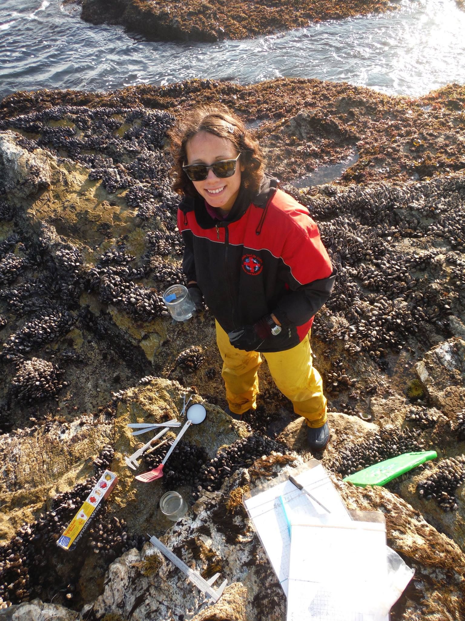
At the USGS Western Geographic Science Center, I modeled how sea level rise impacts ecosystem services provided by marshes and tidal forested wetlands of the Pacific Northwest. Focusing on soil carbon, I used GIS and soil models to project changes in carbon sequestration, informing the Billy Frank Jr. Nisqually National Wildlife Refuge's climate adaptation plans.

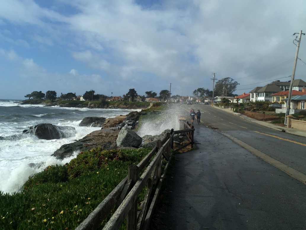
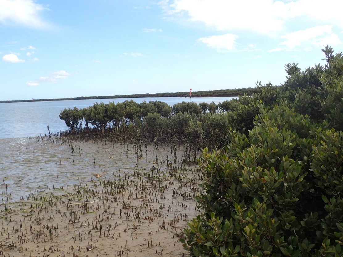
I also modeled blue carbon sequestration in marine ecosystems of Victoria, Australia as part of a joint postdoctoral position with Deakin University and UC Santa Cruz. The resulting maps are being used by the Victorian government to prioritize areas for habitat conservation and marine spatial planning.

Explore Mapping Ocean Wealth

Map Production & Cartographic Services

I make visually appealing maps to get your message across. With more than a decade of experience in GIS and cartography, I produce publication-quality maps ranging from simple and elegant to complex, multi-layered panels that cleanly convey detailed information.

  • Business location maps
  • Site directories & grids
  • Trail system maps
  • Drone & satellite maps
  • Hotspot analysis maps
  • ESRI Story Maps
  • Scientific publication figures
  • Custom GIS workflows
View map gallery
Coastal flooding along a California road with waves crashing over rocks during a storm

Coastal Protection & Climate Adaptation

At Stanford's Center for Ocean Solutions, I modeled how California's coastal habitats store carbon and mitigate flooding driven by sea level rise. I mapped where people and infrastructure were vulnerable to flooding under different levels of climate change severity as part of the Realizing Environmental Innovations Program.

Our goal was to aid California's coastal jurisdictions in prioritizing natural habitats and climate adaptation in their Local Coastal Plan updates. I performed geospatial analyses and translated scientific information for an interdisciplinary team of policy experts, modelers, software developers, and biologists.